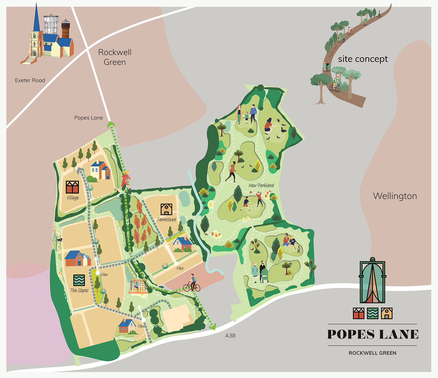
The Site


The site covers an area of approximately 22.35 hectares of gently sloping agricultural land that abuts the existing built form of Rockwell Green. The site is in an accessible location, to the north of Nowers Lane and to the east of Ryelands Business Park.
The site is identified in the adopted Wellington Place Plan (2023) as the only potential residential site for Rockwell Green. It is noted in the Plan that development here would have great access to green space and could help frame the space to make it feel safe and sociable. A number of opportunities include:
- Close proximity to Rockwell local centre could help to support local businesses;
- Sites either side of green wedge would provide attractive framing of green space;
- Potential to enhance existing walking/cycling routes to the town centre;
- Proximity to flood plain could provide an opportunity for phosphate mitigation; and
- Historic waterway/hedgerow and boundary of Nynehead can provide a clear settlement perimeter.
Details of layout, landscaping, scale and appearance will be reserved for future determination, but indicative information will be included with the submission.
